Update Our ticketing, donations, and membership sales portal is down for scheduled maintenance on the afternoon of 4/11.
undated
GUSN-289276
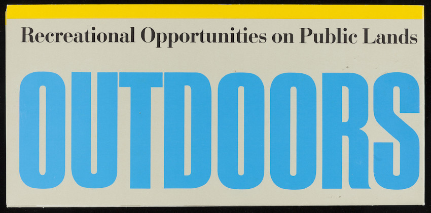
A map of the United States showing outdoor recreation opportunities. The map was produced by the U.S. Geological Survey in conjunction with each other, including the U.S. Army Corps of Engineers, the U.S. Fish and Wildlife Service, the U.S.D.A. Forest Service, the Bureau of Land Management, the National Park Service, the Bureau of Reclamation, and the Tennessee Valley Authority.
tourism
recreation
maps
1 folded map
MS028
Nina Heald Webber Cape Cod Canal collection
MS028.01.010.003
United States
Geological Survey (U.S.)
maps
United States. Army. Corps of Engineers
U.S. Fish and Wildlife Service
United States. Forest Service
United States. Bureau of Land Management
United States. National Park Service
United States. Bureau of Reclamation
Tennessee Valley Authority
Item
Historic New England is committed to implementing reparative language description for existing collections and creating respectful and inclusive language description for new collections. If you encounter language in Historic England's Collections Access Portal that is harmful or offensive, or you find materials that would benefit from a content warning, please contact [email protected].
Sign up to our newsletter for our latest news and events