Update Our ticketing, donations, and membership sales portal is down for scheduled maintenance on the afternoon of 4/11.
undated
GUSN-289284
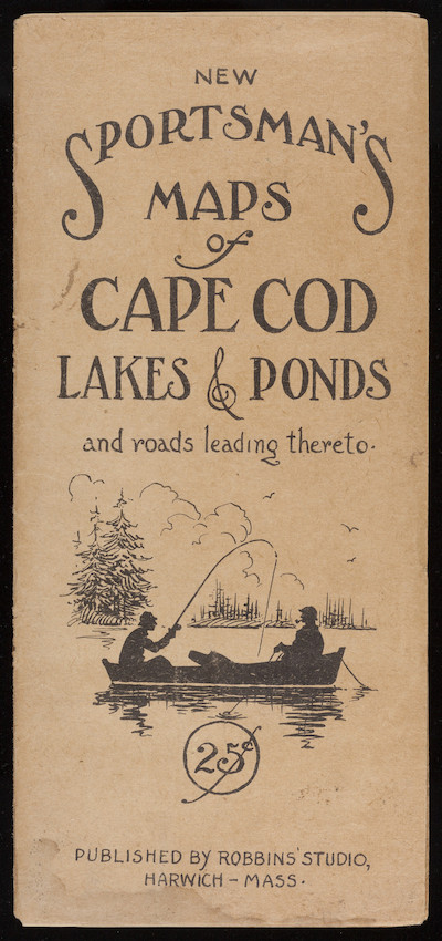
A map of Cape Cod lakes and ponds and roadways. The cover features a silhouette illustration of two men fishing from a canoe or other small boat with a scenic view of a shore behind them.
tourism
roadways
lakes (bodies of water)
ponds (water)
recreation
fishing
maps
1 folded map
MS028
Nina Heald Webber Cape Cod Canal collection
MS028.01.010.011
Cape Cod (Barnstable county, Massachusetts) [peninsula]
Robbins' Studio
maps
Item
Historic New England is committed to implementing reparative language description for existing collections and creating respectful and inclusive language description for new collections. If you encounter language in Historic England's Collections Access Portal that is harmful or offensive, or you find materials that would benefit from a content warning, please contact [email protected].
Sign up to our newsletter for our latest news and events