Update Our ticketing, donations, and membership sales portal is down for scheduled maintenance on the afternoon of 4/11.
1954
GUSN-289330
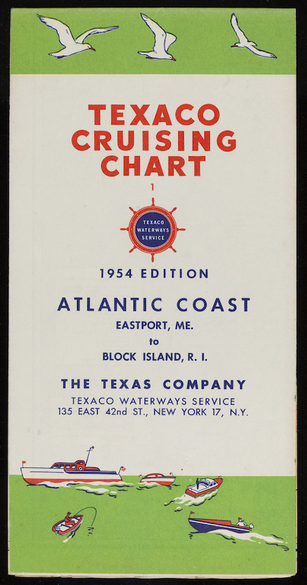
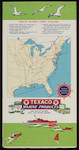
A map of the Atlantic coast from Eastport, Maine, to Block Island, Rhode Island. The cover features illustrations of seagulls flying at the top of the cover and illustrations of various watercraft at the bottom of the cover.
tourism
waterways
boating
maps
1 folded map
MS028
Nina Heald Webber Cape Cod Canal collection
MS028.01.010.015
New England (United States) [general region]
Eastport (Washington county, Maine)
Block Island island (Washington county, Rhode Island) [island]
Texas Company
maps
Item
Historic New England is committed to implementing reparative language description for existing collections and creating respectful and inclusive language description for new collections. If you encounter language in Historic England's Collections Access Portal that is harmful or offensive, or you find materials that would benefit from a content warning, please contact [email protected].
Sign up to our newsletter for our latest news and events