Update Our ticketing, donations, and membership sales portal is down for scheduled maintenance on the afternoon of 4/11.
undated
GUSN-289534
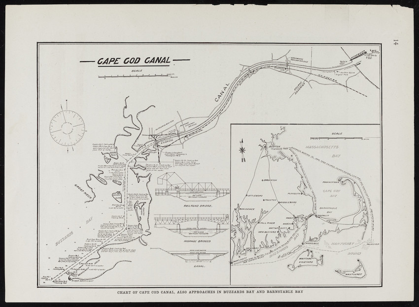
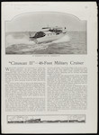
A map showing water routes through the canal for boats. The map appears to have been cut from a periodical. On the back is an article about "Cinuscan II," a military cruiser.
boating
naval ships
waterways
articles
maps
1 map
MS028
Nina Heald Webber Cape Cod Canal collection
MS028.01.010.017
Cape Cod Canal (Massachusetts) [canal]
maps
Item
Historic New England is committed to implementing reparative language description for existing collections and creating respectful and inclusive language description for new collections. If you encounter language in Historic England's Collections Access Portal that is harmful or offensive, or you find materials that would benefit from a content warning, please contact [email protected].
Sign up to our newsletter for our latest news and events