Update Our ticketing, donations, and membership sales portal is down for scheduled maintenance on the afternoon of 4/11.
undated
Folder 3.4
GUSN-292867
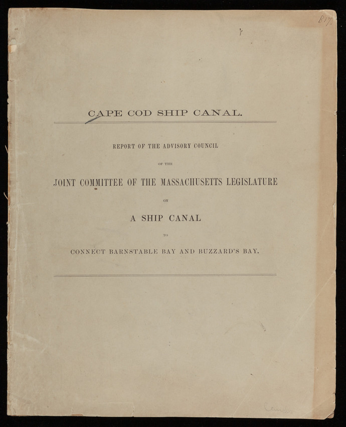
This report describes the terrain of the Cape Cod region and presents a draft of a plan to begin work on a canal. Much of the report is devoted to the analysis of tides. There are two fold out charts depicting the times and heights of the tides.
canals
publications
terrain analysis
drafts (documents)
plans (reports)
charts (graphic documents)
tides
reports
1 government report; 9 x 11 inches; 25 pages
MS028
Nina Heald Webber Cape Cod Canal collection
2006
MS028.05.004.004
Cape Cod Canal (Massachusetts) [canal]
Buzzards Bay (Massachusetts) [bay]
Cape Cod Bay (Massachusetts) [bay]
Advisory Council (Author)
reports
Item
Folder 3.4
Historic New England is committed to implementing reparative language description for existing collections and creating respectful and inclusive language description for new collections. If you encounter language in Historic England's Collections Access Portal that is harmful or offensive, or you find materials that would benefit from a content warning, please contact [email protected].
Sign up to our newsletter for our latest news and events