Update Our ticketing, donations, and membership sales portal is down for scheduled maintenance on the afternoon of 4/11.
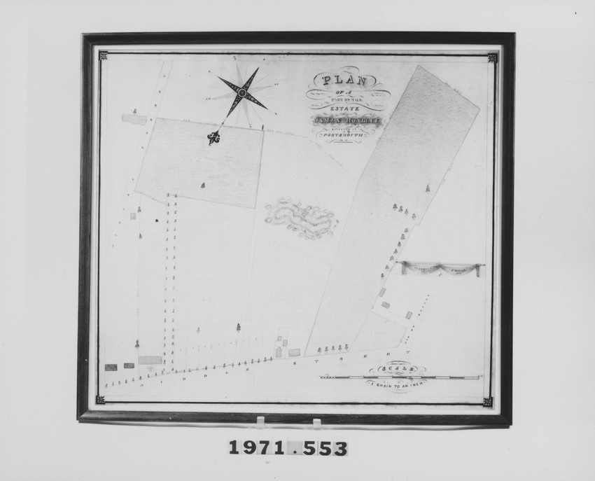
Rectangular, surveyed site plat of land owned by James Rundlet located across from his residence on Middle St.; scale: 1 chain to an inch, topigraphical features delineated and colored.
site plans
coloring
ink
paper (fiber product)
surveying
Unidentified Paper
Ink
Surveyed
Hand Colored
MAP
Original to Rundlet-May House (Portsmouth, N.H.),
Hoyt, A.M. (Maker)
25.25 x 28.5 (HxW) (inches)
Gift of Ralph May
1971.553
New Hampshire (United States)
Historic New England is committed to implementing reparative language description for existing collections and creating respectful and inclusive language description for new collections. If you encounter language in Historic England's Collections Access Portal that is harmful or offensive, or you find materials that would benefit from a content warning, please contact [email protected].
Sign up to our newsletter for our latest news and events